Pebbly Mudstone Island
Zur Navigation springen
Zur Suche springen
| Pebbly Mudstone Island
| ||
|---|---|---|
| Gewässer | Bransfieldstraße | |
| Inselgruppe | Duroch-Inseln | |
| Geographische Lage | 63° 19′ S, 57° 51′ W | |
|
| ||
| Einwohner | unbewohnt | |
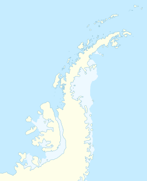
Pebbly Mudstone Island ist eine kleine Insel vor der Nordküste der Trinity-Halbinsel an der Spitze der Antarktischen Halbinsel. Im südöstlichen Teil der Gruppe der Duroch-Inseln liegt sie 500 m südwestlich des Halpern Point.
Der kanadische Geologe Martin Halpern (* 1937) von der University of Wisconsin nahm im Zuge von Vermessungsarbeiten des Gebiets um die Insel zwischen 1961 und 1962 die Benennung vor. Namensgebend ist das dort zutage tretende klastische Sedimentgestein, das im Englischen als pebbly mudstone (englisch für matrixgestütztes Konglomerat) bezeichnet wird.
Weblinks
[Bearbeiten | Quelltext bearbeiten]- Pebbly Mudstone Island. In: Geographic Names Information System. United States Geological Survey, United States Department of the Interior, archiviert vom (englisch).
- Pebbly Mudstone Island auf geographic.org (englisch)
